
Client: Mumbai Metro Rail Corporation · Location: Mumbai · Services: Subsurface Utility Engineering (SUE) · GPR Survey · Utility Mapping · Project Phase: Before station construction Objective To identify, verify, and map existing underground utilities at proposed metro station locations prior to civil works, preventing service damage and construction delays. Scope of Work Conducted records review and site reconnaissance for existing utilities. Performed Ground Penetrating Radar (GPR) survey across station footprints and approach areas. Located and mapped water lines, power cables, telecom ducts, and drainage networks. Carried out trial pits at critical conflict zones for design-grade verification. Delivered CAD-based utility drawings for engineering and construction teams. Impact Enabled safe excavation planning before station construction. Prevented utility strikes and service interruptions. Supported accurate design decisions and construction sequencing. Improved coordination between civil and utility agencies.
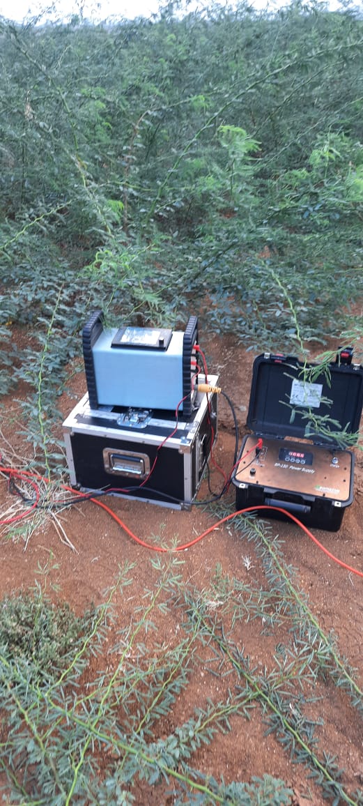
Client: State Water Board · Location: Odisha · Services: ERT, VES, Borehole Correlation · Year: 2022–2023 In a water-stressed district in Odisha, the client needed to identify high-yield borehole locations for a rural water supply scheme. We conducted 45 ERT profiles and 30 VES soundings over the project area, interpreted aquifer geometry and resistivity signatures, and recommended 25 drill locations. We also supervised drilling and correlated borehole logs with ERT sections to refine the geological model. Of the 25 boreholes drilled, 22 met the target yield—a significant improvement over the client's previous success rate without geophysics. The final report included recommended pumping rates and water quality sampling guidance. Key outcomes: 88% borehole success rate; 25 boreholes sited; aquifer map and report delivered; scheme commissioned on schedule.
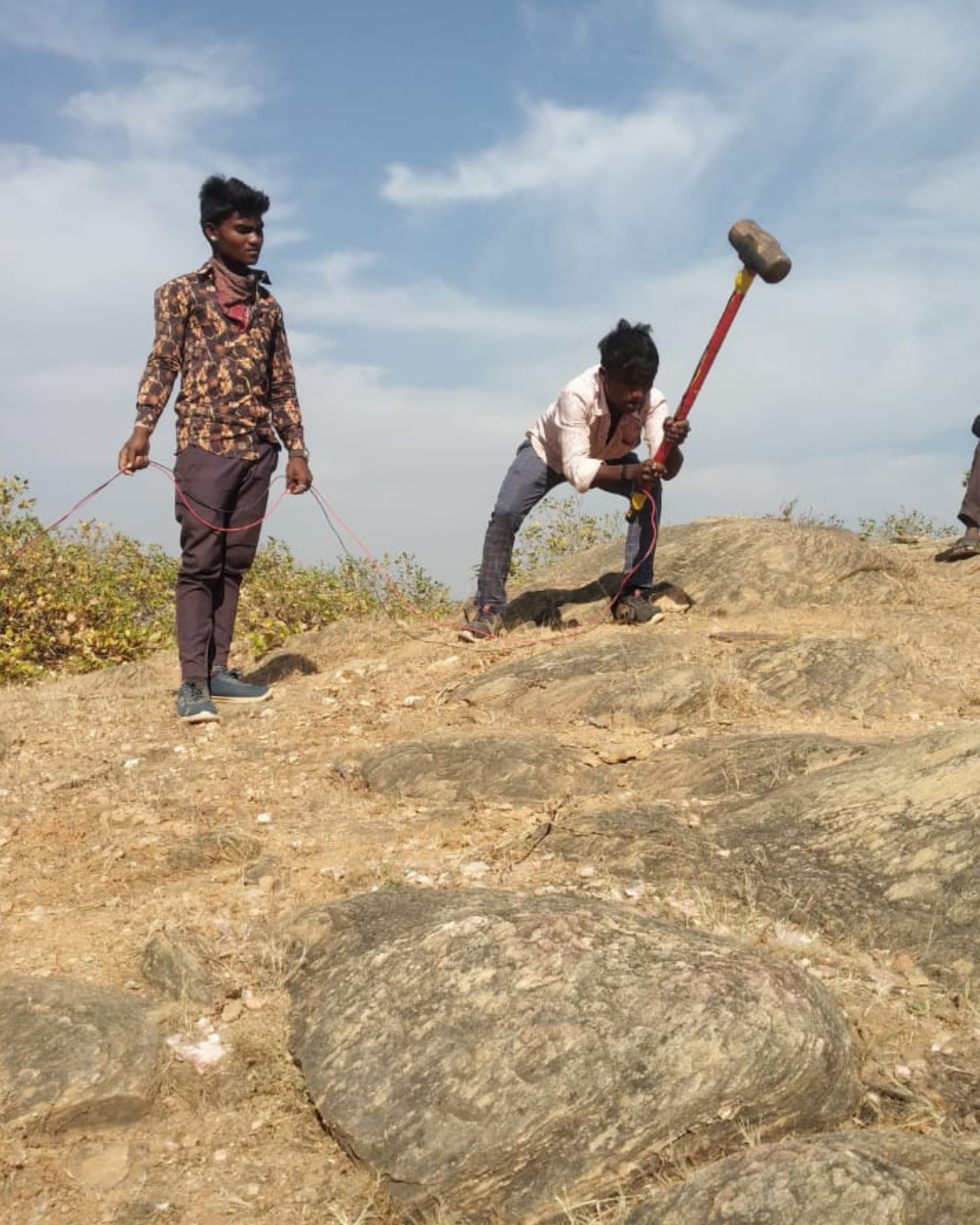
Client: Water Resources Agency · Location: North India · Services: Seismic Refraction, MASW, Geotechnical · Year: 2022 For a proposed dam site, the client required bedrock depth and stiffness profiles for foundation design. We carried out seismic refraction tomography along 12 profiles and MASW at 8 locations to obtain P-wave and S-wave velocity models. Results were integrated with 6 geotechnical boreholes. We delivered interpreted bedrock contours, Vs profiles, and design parameters (e.g. small-strain shear modulus) for the consultant. The combined geophysical and geotechnical approach allowed optimisation of borehole locations and provided continuous coverage between boreholes. The project was completed within the tender timeline and the client extended the scope for the spillway channel. Key outcomes: Bedrock depth and stiffness maps; integration with boreholes; design parameters for consultant; scope extension for spillway.
Our project count by sector (approximate) over the last five years. Many projects involve multiple sectors (e.g. infrastructure + water) and are counted in the primary sector.
| Sector | Approx. Projects (Last 5 Years) | Typical Services |
|---|---|---|
| Civil & Infrastructure (roads, rail, buildings) | 180+ | Geotechnical, GPR, SUE, seismic |
| Mining & Minerals | 60+ | ERT, IP, GIS, resource modelling |
| Water & Environment | 90+ | ERT, groundwater, dam investigations |
| Oil & Gas / Pipelines | 25+ | SUE, corridor survey, geotechnical |
| Power & Telecom | 40+ | Utility mapping, GIS, site investigation |
| Urban / Smart Cities | 50+ | GIS, SUE, asset mapping, GPR |
Whether you have a similar project in mind or something different, we are happy to discuss scope, methodology, and timelines. Get in touch for a proposal or site visit.